Phenotyping
Draganfly Advances Aerial Drone Data Collection
The University of Saskatchewan Plant Sciences team conducts extensive agricultural phenotype research and requires precision imagery for digital phenotyping and genomics for crop breeding. In 2018, Draganfly and the Plant Sciences team sought a new solution with higher resolution images to help achieve more actionable insights.
Digitally Documenting Crop Characteristics
The University of Saskatchewan Plant Sciences team conducts extensive agricultural phenotype research and requires precision imagery for digital phenotyping and genomics for crop breeding. Driven to improve the documentation and processing of crop characteristics, the team is constantly searching for innovative technologies to help them to do so.
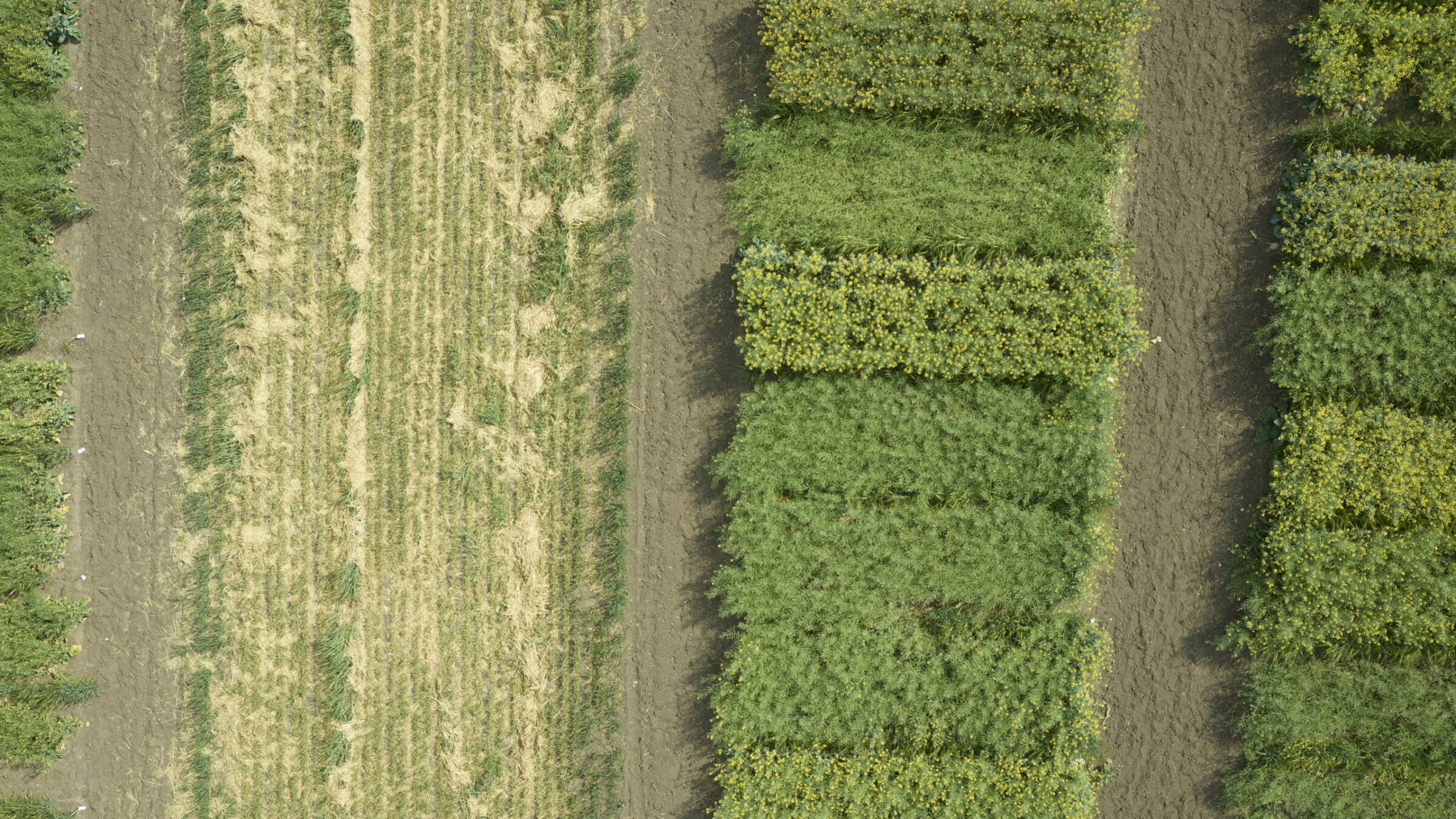
Scientists leverage precise digital phenotyping and genomics while using drones to image crops, essentially photocopying fields, to better document and understand crop characteristics. With digital collection, phenotypers can quantify their observations and run images through Convolutional Neural Networks (CNNs) to more rapidly identify changes and trends that may not have been easy for researchers to identify in the past.
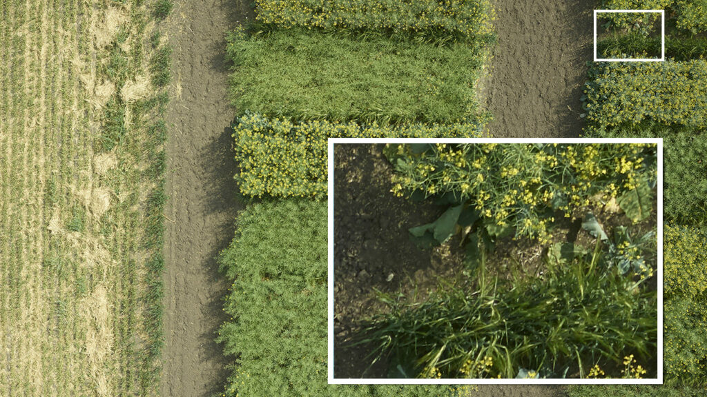
IMAGE: Close-up zoom of vegetation for digital phenotyping USASK 2019 ©
The Phase One camera is really easy to use. All the information needed to operate and integrate the camera is provided. The level of detail in the integration guide and technical documents far exceeds what we have seen from other camera manufacturers
Twenty Times More Efficient
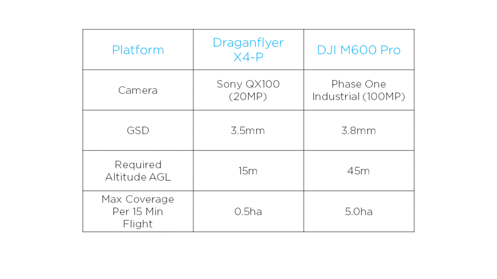
The increase in spatial resolution by using the Phase One Industrial 100MP camera has resulted in the University becoming 20 times more efficient at collecting data! They are able to cover up to 10 times more area per flight versus previously used hardware, which gives them similar color image resolution, and saves time as the collection of the multispectral imagery no longer required separate flights.
When directly comparing flights to collect color imagery with a GSD of less than 4mm, Phase One Industrial cameras are able to provide approximately 10 times more land coverage per 15-minute flight. To image a quarter section of land (160 acres or 65ha) at <4mm GSD, it would take approximately 10 flights with the M600 and Phase One setup, while the previously used Draganflyer X4-P and Sony QX100 would require approximately 100 flights. Because of the efficiency of imaging with two cameras simultaneously, the number of flights required has been further reduced, resulting in 20 times more data collected for the equivalent flight duration.
Improve Data Collection with High-Resolution Imagery
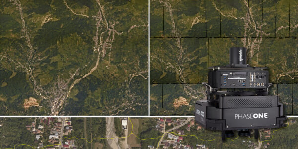
The University’s goal with the project was to simultaneously capture high-resolution RGB and multispectral imagery for plant phenotype research. By using a dual payload that included a much higher resolution color camera with a larger sensor and an additional multispectral camera, they could cover more area in a day and collect more data, while achieving increased spatial resolution.
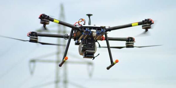
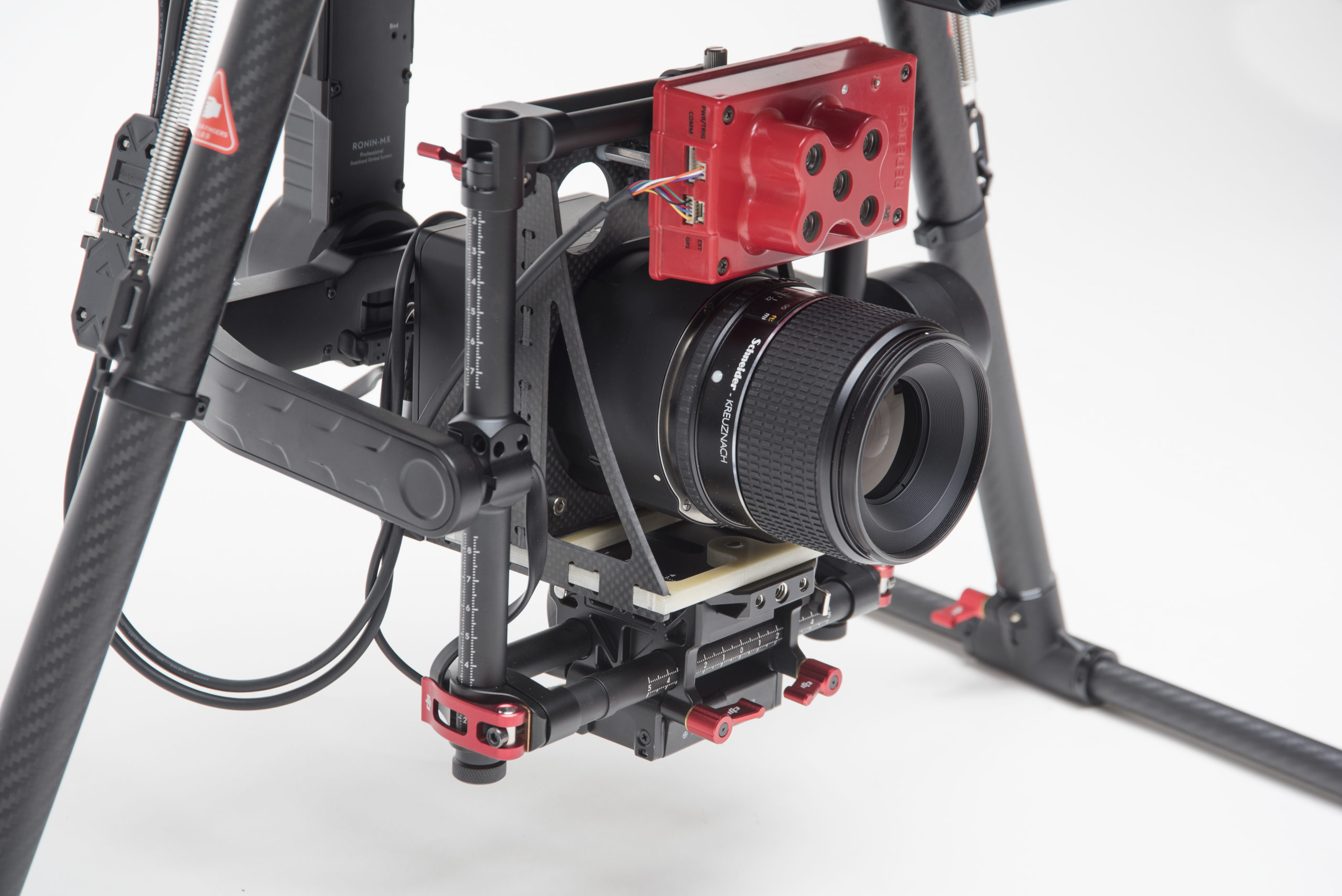
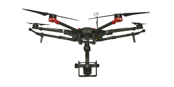
Draganfly had been working with Phase One Industrial for a year and recommended their 100-megapixel camera along with the MicaSense RedEdge 3. Phase One’s 100MP solution provided a significant resolution increase over previously used cameras and fit the size and weight envelope of many commercially available UAV systems. The 1kg payload capacity of the University’s Draganflyer X4-P system was insufficient for the recommended dual sensor setup. The DJI Matrice 600 Pro proved to be the best platform to build the solution as it had a payload capacity of 5kg, which was sufficient for both cameras, it had an SDK that Draganfly would be able to work with, and it was at a favorable price point.
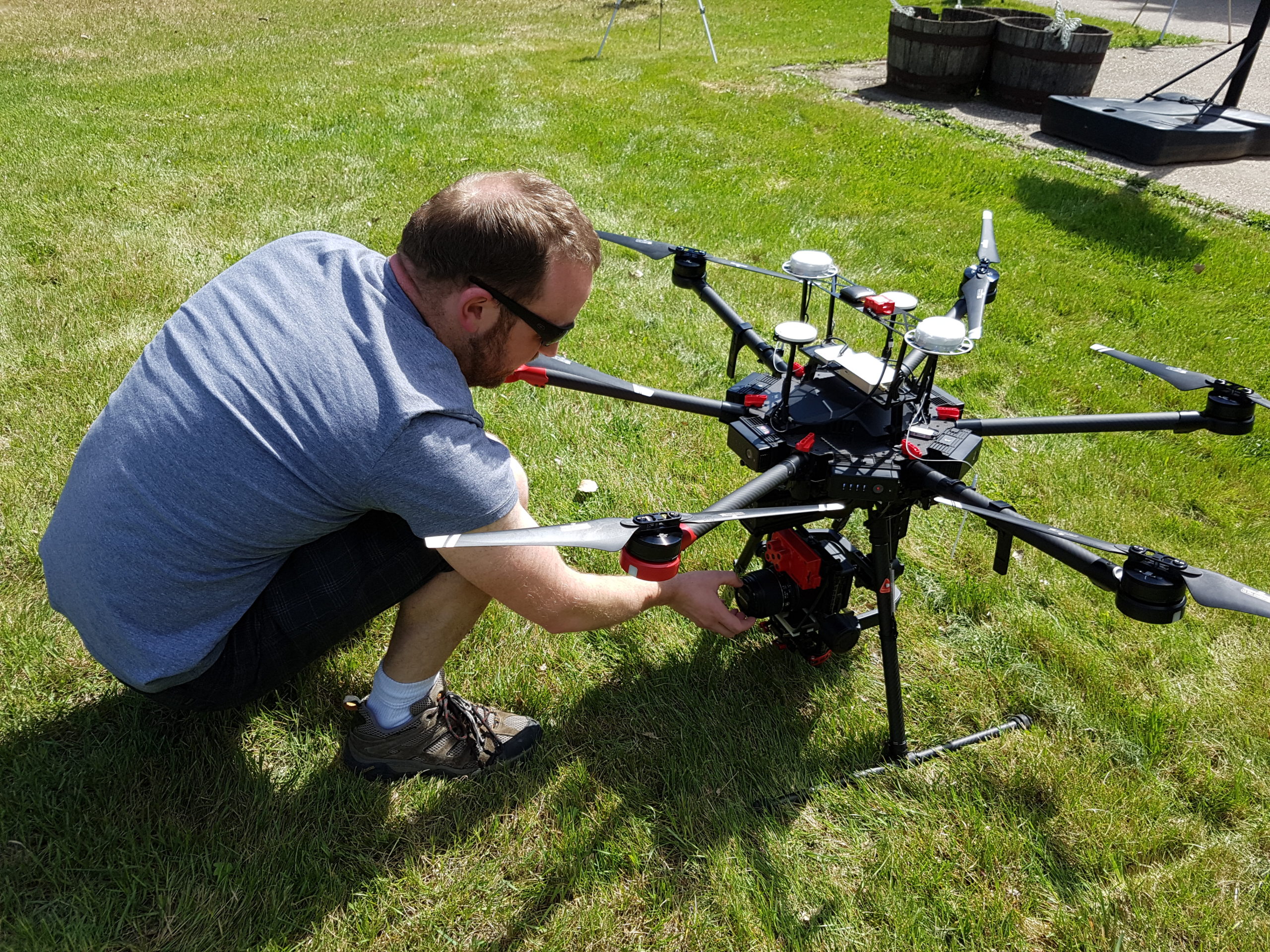
IMAGE: Preparing the UAV and camera before flight USASK 2019 ©
Improve Data Collection with High-Resolution Imagery
The medium-format camera was integrated alongside the multispectral sensor onto the DJI platform, operated by the Draganfly Surveyor mission planning software. Design and fabrication of mounting components were required to make both cameras fit on the gimbal together. Although the physical installation was fairly straightforward, the team was challenged in the communication between the UAV operating system and both cameras side-by-side. Phase One Industrial cameras automatically integrate with the DJI M600 UAV, however, customized operating hardware and software development was required in order to trigger both cameras simultaneously.
A purpose-built interface circuit board was designed and software was written to act as a bridge between the DJI A3 Pro autopilot, each of the cameras, and the Draganfly Surveyor mission planning software. In flight, the A3 Pro autopilot runs the automated flight plan and sends camera control and shutter commands through the same interface circuitry to simultaneously trigger the cameras at the correct time. With the custom integration completed, the development team realized a significant improvement in both productivity and image quality when compared to previous drone data collection methods.
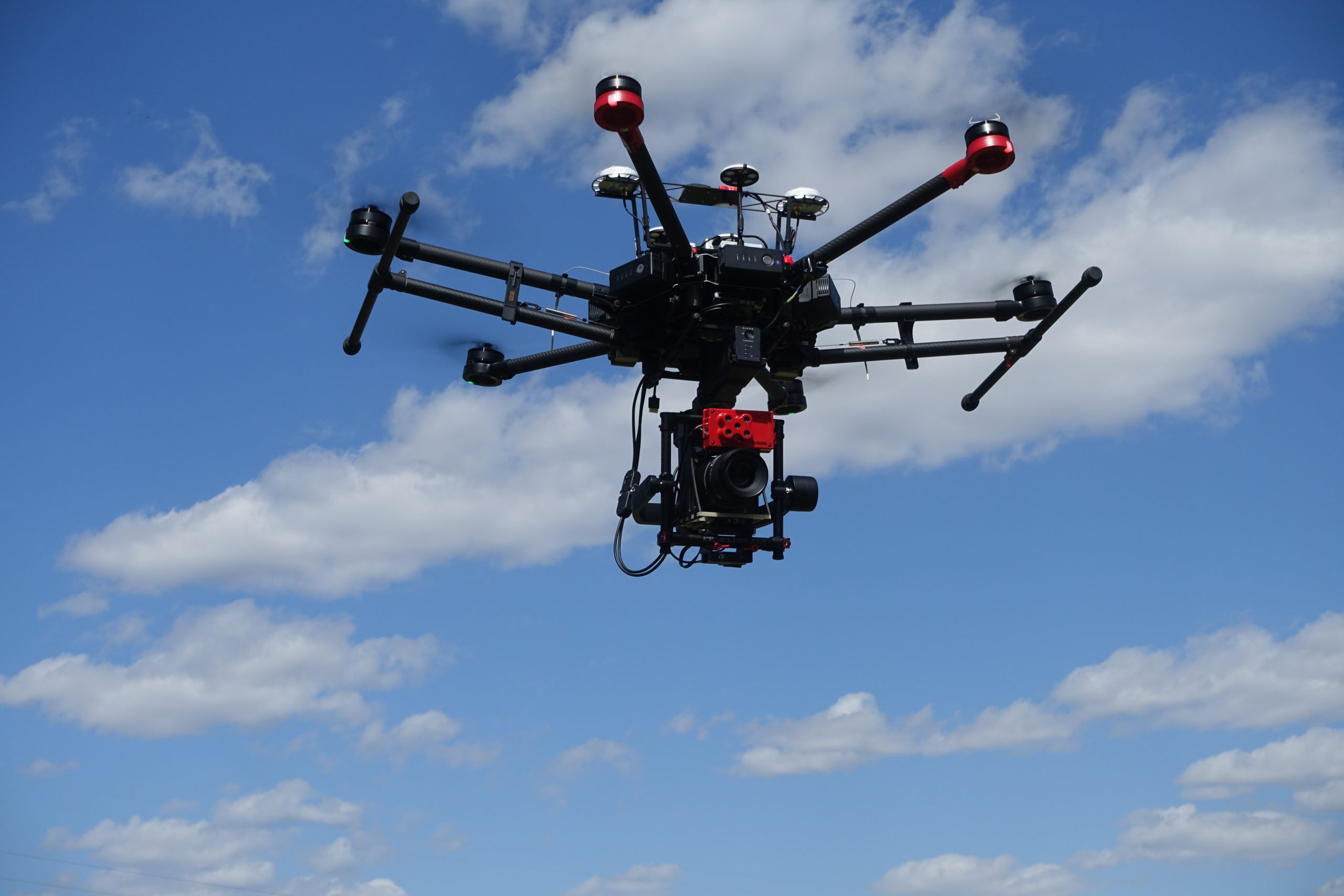
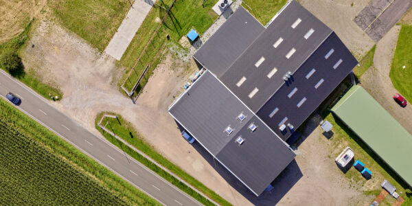
IMAGE: USASK 2019 ©
Phase One Aerial System
The fully integrated Phase Onedrone solution contains:
-
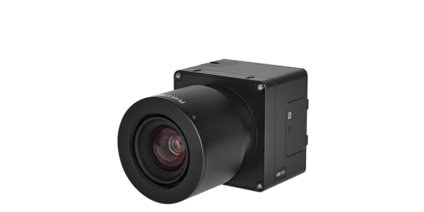
- Phase One iXM-100 Aerial Camera
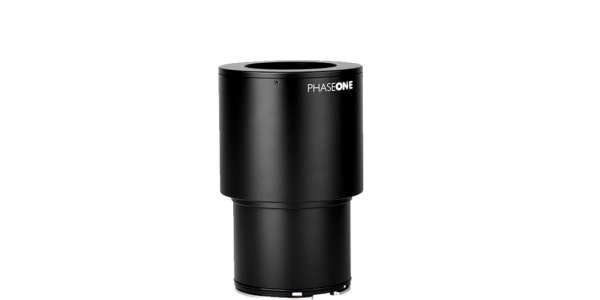
- 150mm RSM lens
- DJI M600 PRO drone
- Phase One iX Capture Mobile Application
The customized solution includes:
-
- MicaSense RedEdge 3
- purpose-built interface circuit board and software to act as a bridge between the DJI A3 Pro autopilot, each of the cameras, and the Draganfly Surveyor mission planning software
The system offers a cost-effective measurement of small-scale areas with millimetre accuracy. The motorized RSM lens offers the flexibility to fly the UAV at higher altitudes, if needed.
USASK 2019 ©

Contact a Phase One Expert
If you would like to learn more about our Payloads for Drones, our experts are eager to help! Contact Phase One Support.

Geospatial
Mapping lava flows during volcanic eruptions in Iceland

Geospatial
The PAS Pana: a 48,800-pixel camera innovated with our customer Surdex

Geospatial
Rebuilding after Hawaii’s wildfire with engineering-grade surveying

Geospatial
Revolutionizing Slovenian urban planning: Phase One’s PAS 880i redefines reality mapping
Geospatial
Imaging solutions combined with AI and 5G – A new approach and promising to assess forest health and detect and monitor wildfires
Geospatial
Phase One Cameras combined with light, fixed-wing aircraft deliver highly efficient LiDAR and mapping missions
Geospatial
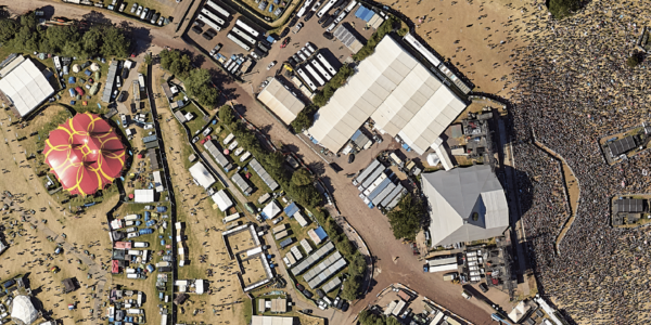
Capturing Glastonbury Festival
Geospatial
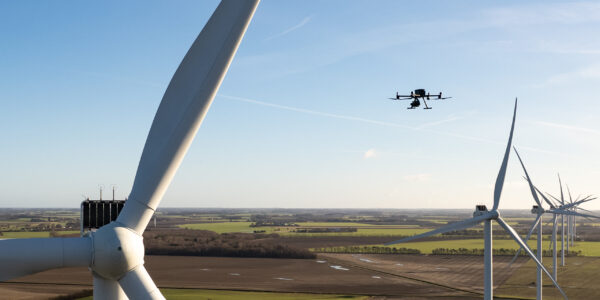
Breaking barriers to offshore wind energy development
Geospatial
Using aerial oblique images combined with close range UAV (uncrewed aerial vehicles) based data
Geospatial
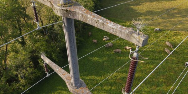
A change in the future of high-risk, critical asset inspections: fast, effective and safe aerial powerline inspection in a fraction of time and with real cost savings
Geospatial
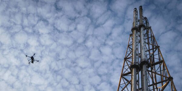
Using drone technology for Flare Stack Inspection: Getting the smallest details from a safe distance
Geospatial
The Experiences of EyeFly with Phase One iXM
Geospatial
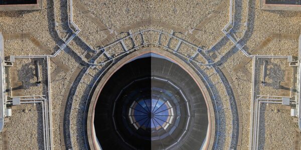
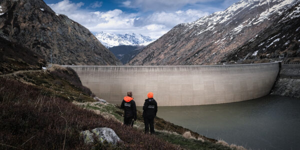
Dam Fine Data: Sub-millimeter-resolution UAV Dam Surveys by Orthodrone
Geospatial
Trimble Inpho – High class photogrammetry with aerial imagery from PAS 280
Geospatial
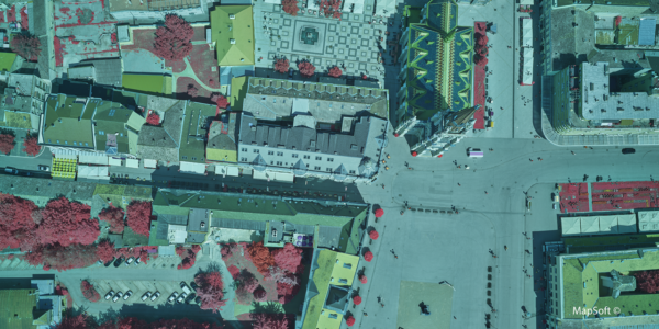
MapSoft – Multi-sensor Aerial System Improves Urban Development
Geospatial Blog
Technology Turning the Tide Against Ocean Plastic Pollution
Geospatial Blog
Setting the New Standard: Evaluating Survey-Grade Accuracy with the Phase One P5
Press Release
Phase One Partners with gNext to Revolutionize Asset Inspections based on Intelligent Image Quality (IIQ)
Geospatial Blog
Part One of: Taking Off – a checklist for the start of the inspection flying season

Geospatial Blog
Insights and future trends at Geo Week 2024
Press Release
Cyberhawk selects Phase One in their pursuit of revolutionizing drone-based industrial inspection by delivering more value in less time.
Press Release
Phase One, Quantum Systems and Trimble unveil groundbreaking survey grade UAV solution with the launch of Phase One P5 camera
Press Release
SPH Engineering and Phase One Team Up to Enhance Visual Inspections with ImageInspector Solution

Press Release
Phase One certifies Xer Technologies’ hybrid electric X8 BVLOS capable UAS for next-generation high-resolution inspections

Press Release
Phase One and Boston Announce Partnership for strong Drone Imaging collaboration in the Nordics
Press Release
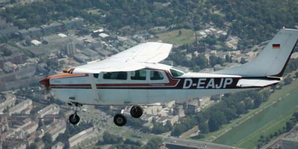
Phase One Selects Globe Flight as Sales Partner for Drone Solutions in Germany and Austria
Press Release
Phase One ernennt Globe Flight GmbH als Vertriebspartner für Drohnenlösungen in Deutschland und Österreich
Press Release
Remote Vision Named as Swiss Reseller of Phase One Drone Payloads