Concrete silo
Download datasets
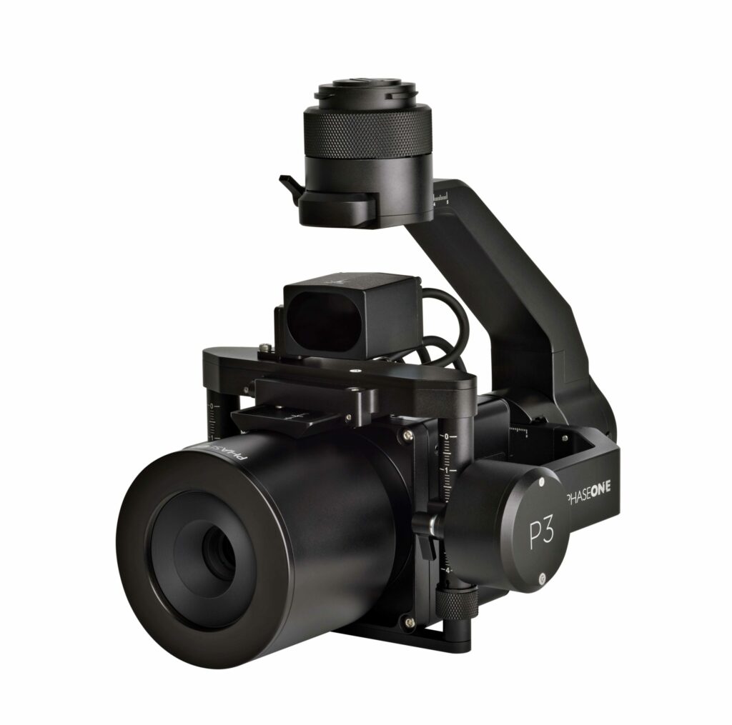
Asset Inspection
The superior quality of Phase One imagery allows you to focus on fault-finding, effective repairs, and maintenance when getting up close is not an option. Get millimeter-sized damage detection during critical asset inspection. Drones integrated with the iXM 100MP or 50MP cameras give you the ability to cover large areas in one flight, capture accurate data of high-risk infrastructure from afar, and reduce the risk to your UAV, assets, and ground-based surveying teams.
The datasets contain all types of data for self-processing: images from the drone, high-precision coordinates, GNSS data from the base station and GCPs for accuracy control, and already processed data for viewing and analysing.