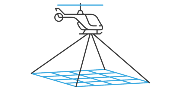
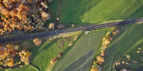
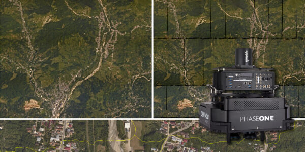
Corridor Mapping
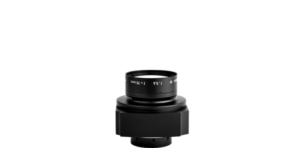
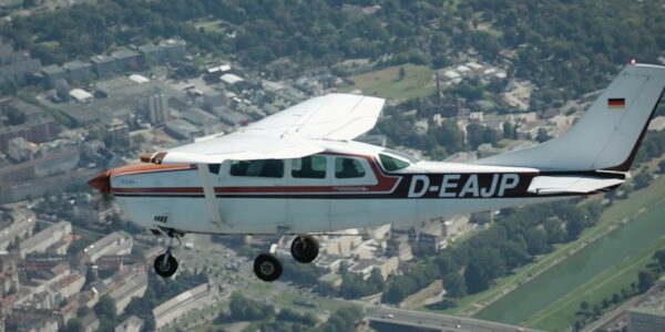
Capturing precise details, with four Phase One cameras integrated to helicopter-based CLASS platform
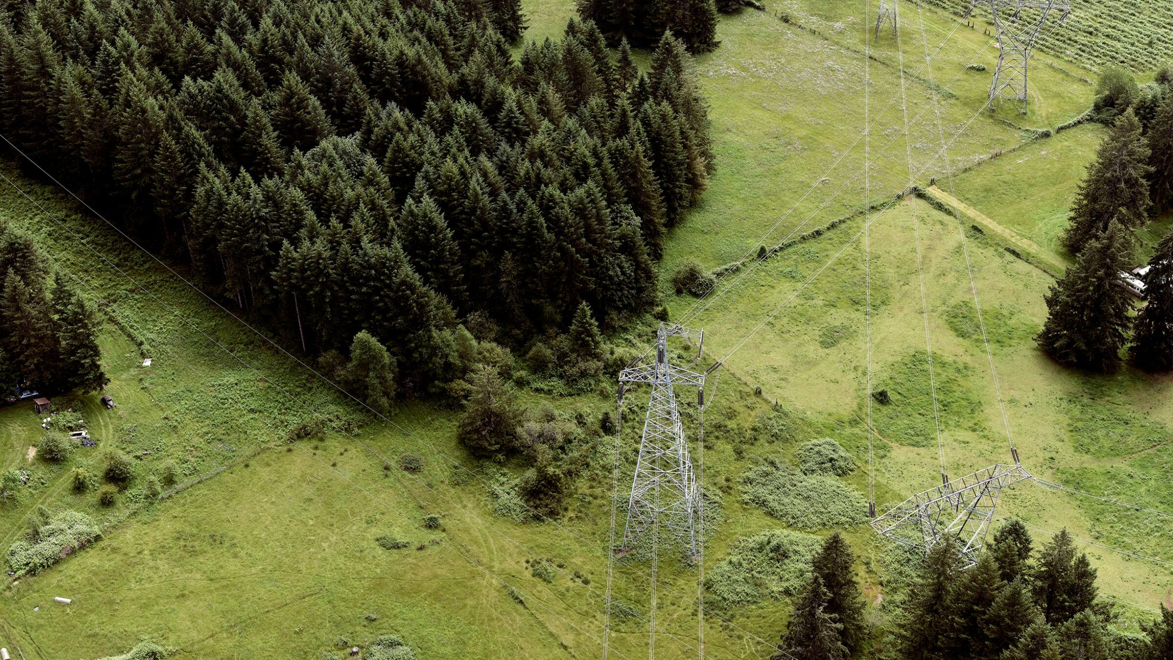
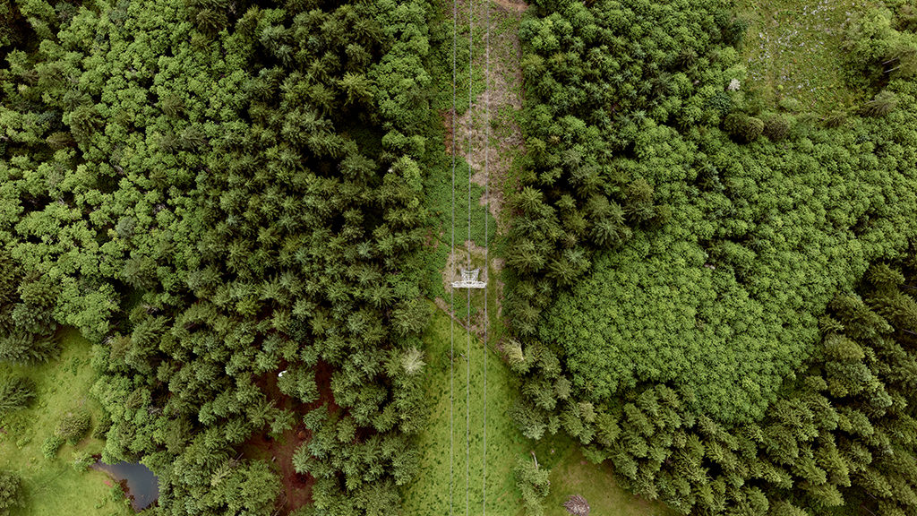
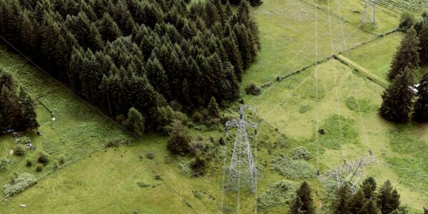
Medium to large scale oil, gas and electric utility companies require constant high-resolution imagery and data of their physical assets to inspect any health and maintenance concerns. NV5 Geospatial is able to provide high quality data in 50% less time by integrating four Phase One cameras into their CLASS helicopter-based platform and collect the required nadir and nadir 4-band, oblique, and high-density LiDAR data in a single pass.
Keeping America powered: high-resolution imagery detailing health and encroachment concerns.
Providing such data to utility companies across North America is one of many projects undertaken by NV5 Geospatial, one of North America’s largest geospatial services firms.
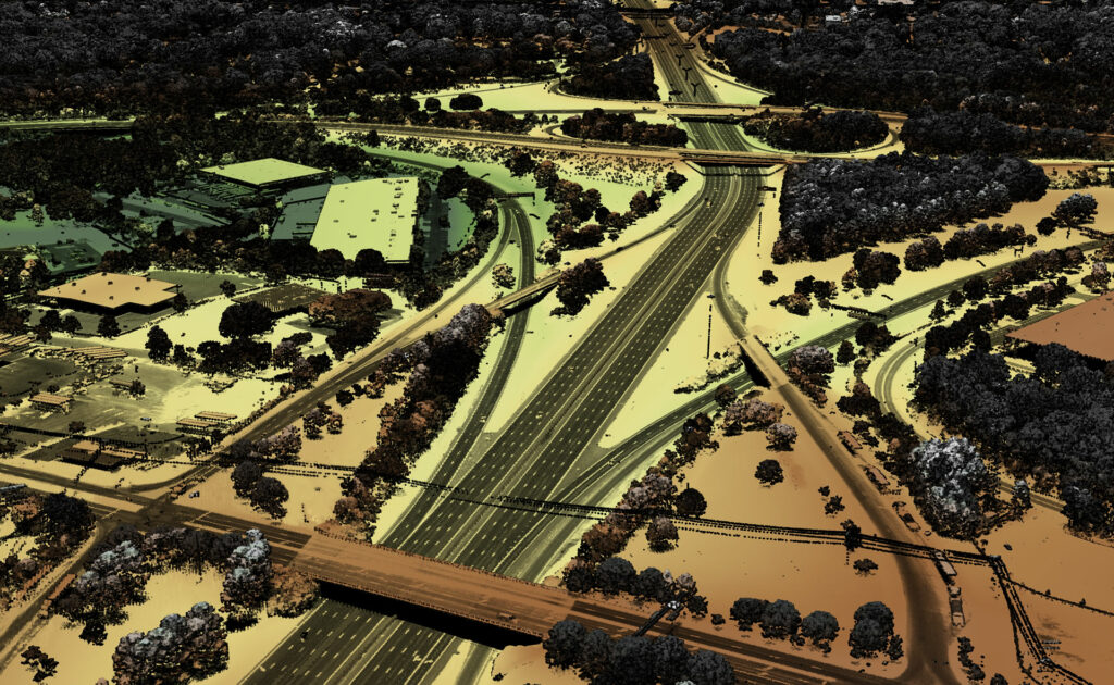
In order to meet inspection-grade detail and accuracy requirements for their data, NV5 Geospatial integrated Phase One medium format inspection cameras into their Comprehensive Low-Altitude Sensor Solution (CLASS); a platform that collects nadir, 4-band, oblique, and high-density lidar data in a single pass.
Previously, NV5 Geospatial focused more heavily on high accuracy LIDAR products than on RGB and NIR imagery. However, with the availability and growing knowledge of high-resolution oblique imagery, their clients have become more aware of the usefulness of imagery for high-value asset inspection. Oblique imagery offers greater visibility as compared to nadir imagery or point clouds and can often be much more useful for inspection.


The sharpness of the un-stabilized imagery has enabled our team to provide automated asset inventory and asset health on transmission line structures. Previous solutions prior to Phase One did not have the reliability, accuracy, sharpness, and support to offer such a product to our customers.
Integration
The ability to seamlessly integrate Phase One components with other instrumentation allows NV5 Geospatial to provide end solutions to their clients that exceed requirements and expectations. The CLASS 1.0 and 2.0 platforms ensure that all data and imagery collected provides the necessary high level of detailed information without any concern of reliability, accuracy, or sharpness.
Instead of having to perform separate passes with a high-altitude fixed-wing level for Nadir imagery and another low pass for Oblique imagery, NV5 Geospatial is now able to collect Nadir, Oblique, and high-density LiDAR data in a single pass for corridor survey projects with their CLASS system. Mounted to a helicopter-based platform this reduced the number of passes required by 50%, while still achieving asset inspection grade detail in the imagery for their clients.
Wide Dynamic Range for Varying Light Conditions
The wide dynamic range of Phase One 150MP cameras allows NV5 Geospatial to extend project hours and flight time by 50%. With Phase One high-definition sensors integrated into the CLASS system, capturing detailed imagery in high-contrast environments (such as transmission line corridors and urban settings), allows projects to remain equally productive as light conditions vary.
Unexpected Georeferencing Benefits
Data processing hours from the CLASS system were reduced by 10-20% for image positioning through direct georeferencing and accurate enough to automatically support the required deliverable specification (Previously unable to achieve without the requirement to perform aerial triangulation). This was an unexpected benefit of collecting data at a low altitude and using a well-built platform with high-quality sensors and instrumentation.
The imagery itself was enjoyable to look at as we moved it through each stage of the production workflow, and something we could be proud to deliver to our clients.”
NV5 Geospatial
NV5 Geospatial is North America’s largest geospatial services firm, providing insights to organizations that need geospatial intelligence to mitigate risk, plan for growth, better manage resources and advance scientific understanding.
NV5 Geospatial goes beyond data acquisition and measurement, transforming high-quality, accurate data into usable information tailored to meet our clients’ needs. Major government agencies, the military, and corporate organizations of all sizes, including utilities, oil and gas producers, engineering and construction firms, depend on NV5 Geospatial to revolutionize the way they use and value geospatial data through end-to-end solutions that push the boundaries of data and analytics.
Contact a Phase One Expert
If you would like to learn more about our aerial cameras, our experts are eager to help! Contact Us.

Geospatial
The PAS Pana: a 48,800-pixel camera innovated with our customer Surdex

Geospatial
Rebuilding after Hawaii’s wildfire with engineering-grade surveying

Geospatial
Revolutionizing Slovenian urban planning: Phase One’s PAS 880i redefines reality mapping
Geospatial
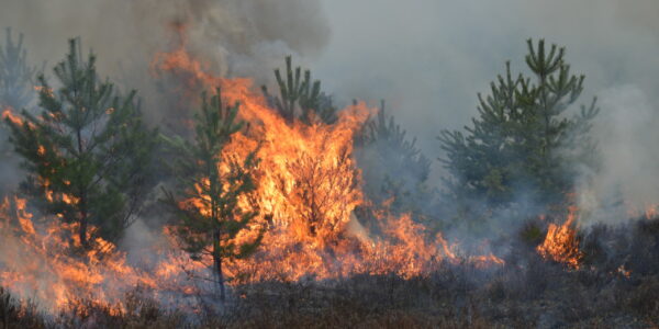
Imaging solutions combined with AI and 5G – A new approach and promising to assess forest health and detect and monitor wildfires
Geospatial
Phase One Cameras combined with light, fixed-wing aircraft deliver highly efficient LiDAR and mapping missions

Geospatial
Capturing Glastonbury Festival
Geospatial
Breaking barriers to offshore wind energy development
Geospatial
Using aerial oblique images combined with close range UAV (uncrewed aerial vehicles) based data

Geospatial
A change in the future of high-risk, critical asset inspections: fast, effective and safe aerial powerline inspection in a fraction of time and with real cost savings
Geospatial
Using drone technology for Flare Stack Inspection: Getting the smallest details from a safe distance
Geospatial
The Experiences of EyeFly with Phase One iXM
Geospatial
Dam Fine Data: Sub-millimeter-resolution UAV Dam Surveys by Orthodrone
Geospatial
Trimble Inpho – High class photogrammetry with aerial imagery from PAS 280
Geospatial
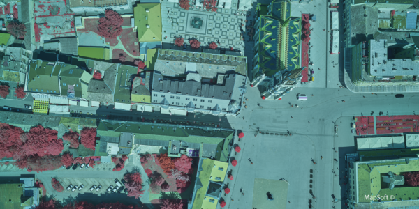
MapSoft – Multi-sensor Aerial System Improves Urban Development
Geospatial
NV5 Geospatial – Capturing Precise Details, with Four Phase One Cameras Integrated into Helicopter-based CLASS