Bridge Inspection
Phase One Industrial iXM-100 Camera is Proven Best for UAV Bridge Inspection
Keystone Aerial tested three aerial cameras integrated with its UAV to see which provided best results during the Tacony-Palmyra Bridge Inspection Project. There was a clear winner – from 130ft away!
Reducing Costs and Safety Concerns
Keystone Aerial, experts in digital, film, and LiDAR surveys, understands the challenges brought by drone bridge inspection work. Based close to the Upper Delaware River, they conduct regular aerial bridge inspection surveys for the Delaware River Bay Authority to determine predictive maintenance and infrastructure needs.
Bridge inspection has traditionally fallen to engineers to make annual on-site inspections. An arduous and costly process, which often calls for partial or complete bridge closures over extended periods and is costly to bridge operators and poses dangers to the engineers on site. The introduction of UAV inspection has removed the occupational safety concern of engineers and eliminated the need to stop the flow of traffic during the mission.
Close Enough to Shoot without Danger
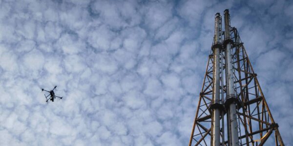
Challenged by the danger of flying close enough to obtain detailed imagery of bridge structures, together with FAA regulations prohibiting the flying of piloted aircraft any closer than 1,000 feet (under Visual Flight Rules), Unmanned Aerial Vehicles (UAV’s), or drones, are the solution Keystone needs.
UAV’s are quickly deployed, manned easily, pose few risks, and offer stable platforms for a range of optical and thermal sensors. Phase One’s iXM- 100 metric camera on-board these aerial platforms provides invaluable aerial -imagery data that enables predictive maintenance for aerial inspection missions of many structure types such as bridges, power lines, wind turbines, roads, forestry, and agriculture.
Acquired digital images can be assessed by analysis at a fraction of the cost of manned inspections. Effective inspection of aging infrastructure and fast identification of fundamental weaknesses is crucial. Drone technology, with medium format photography, assists in the execution of such projects while maximizing image quality and minimizing time, cost, risk to people, and traffic disruptions.

Aerial imaging can save operators 10-20 percent in annual inspection costs, that can run into the millions of dollars.
Test Flights
Keystone was one of the first commercial operators to obtain an FAA waiver to allow flight in controlled airspace. However, flying so close to structures can lead to greater magnetic interference and scattering of GPS signals. Wind turbulence close to bridges can also be incredibly variable and entails a lot of very stressful manual flying. This, coupled with rapid advances in aerial sensor technology, prompted the company to conduct a new aerial bridge inspection trial from a safe distance.
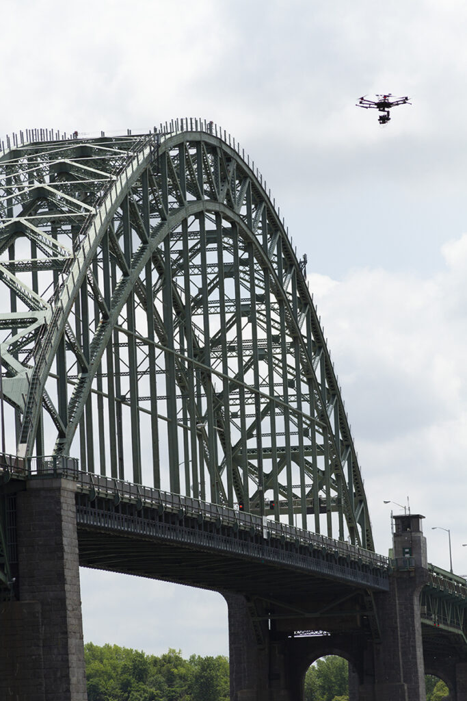
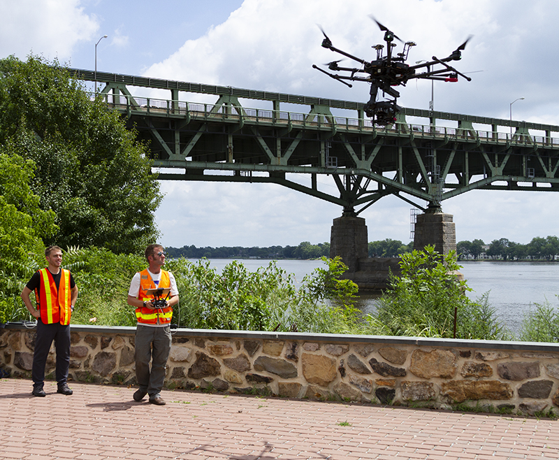
Three advanced aerial cameras were tested aboard Keystone’s DJI Matrice 600 Pro (M60 0 Pro) hexacopter to determine how each performed.
A Clear Winner in Aerial Bridge Inspection
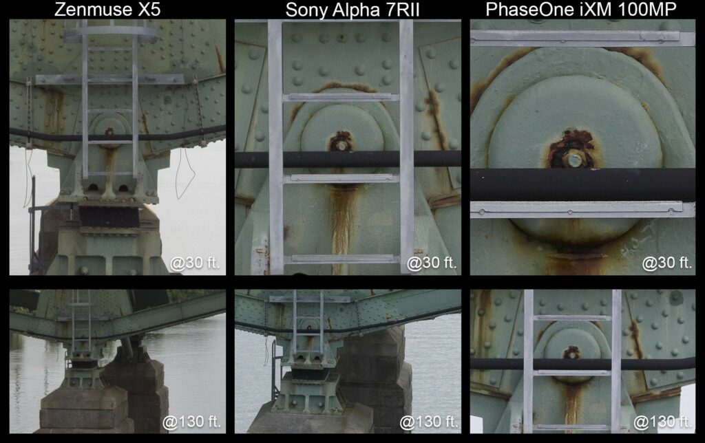
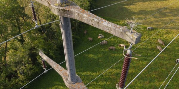
Phase One’s iXM-100 metric camera with 80mm motorized lens was pitched head-to-head against DJI’s Zenmuse X5 and Sony’s first-generation Alpha 7R cameras. AII three cameras were flown at two distances – 30 feet and 130 feet – along the bridge capturing stills.
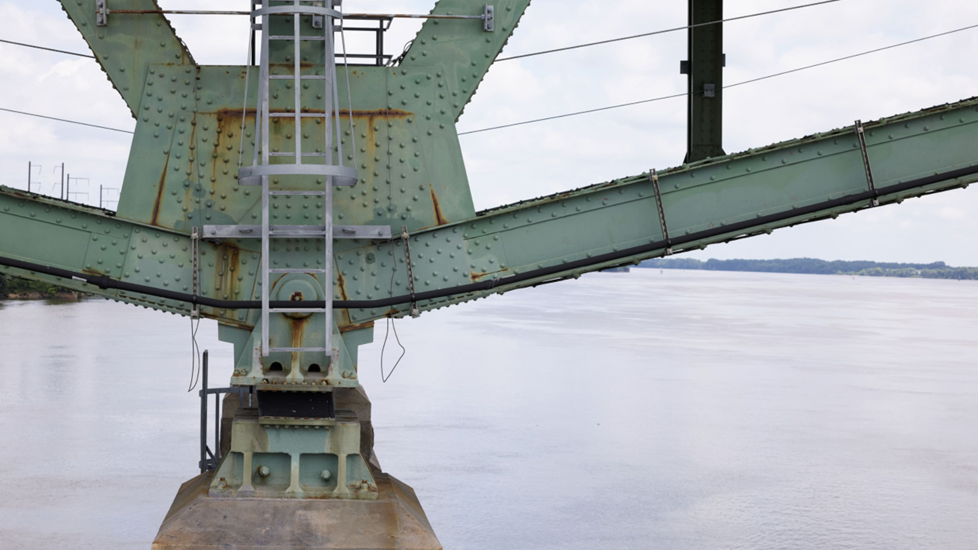
The iXM-100 outperformed the other aerial cameras with images captured at a distance of 130 feet where definition was on par with images acquired by its nearest competitor at a distance of 30 feet, as images show.
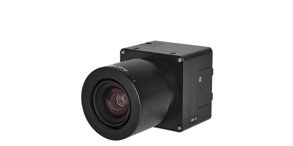
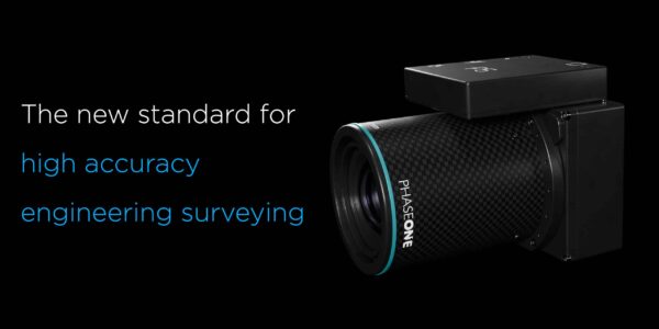
Lightweight and purpose -engineered for UAV-based mapping, surveying, and inspection missions, Phase One’s iXM 100MP medium format camera is available with a range of RSM lenses at 35mm-300mm focal length. The field of view offers large surface coverage at extremely high resolution, providing an accurate visualization of objects with millimeter-sized damage spotting detection. The iXM-100 pushes the boundaries as the first high-resolution sensor to incorporate backside illumination technology to boost spectral sensitivity and extend dynamic range Wirelessly controlled motorized lenses with variable focal lengths means operators can key in new distances from which to focus while the motorized lens does the rest. A big time-saver.
IMAGE: Phase One’s iXM-100 metric camera with 80mm motorized lens was pitched head-to-head against DJI’s Zenmuse X5 and Sony’s first-generation Alpha 7R cameras. AII three cameras were flown at two distances – 30 feet and 130 feet – along the bridge capturing stills.
Contact a Phase One Expert
If you would like to learn more about our Payloads for Drones, our experts are eager to help! Contact Us.

Geospatial
The PAS Pana: a 48,800-pixel camera innovated with our customer Surdex

Geospatial
Rebuilding after Hawaii’s wildfire with engineering-grade surveying

Geospatial
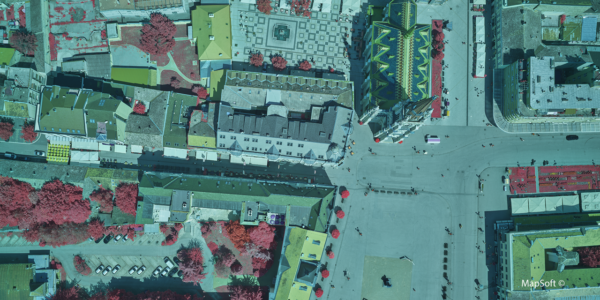
Revolutionizing Slovenian urban planning: Phase One’s PAS 880i redefines reality mapping
Geospatial
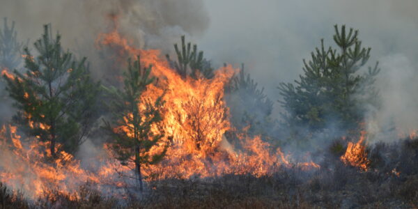
Imaging solutions combined with AI and 5G – A new approach and promising to assess forest health and detect and monitor wildfires
Geospatial
Phase One Cameras combined with light, fixed-wing aircraft deliver highly efficient LiDAR and mapping missions
Geospatial
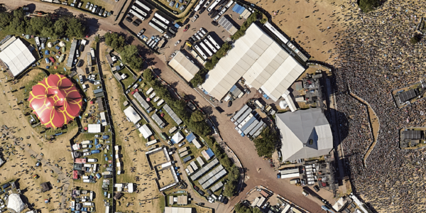
Capturing Glastonbury Festival
Geospatial
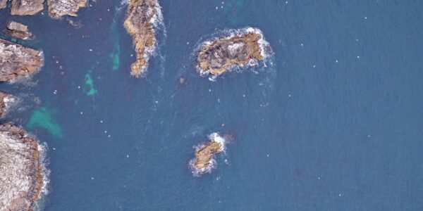
Breaking barriers to offshore wind energy development
Geospatial
Using aerial oblique images combined with close range UAV (uncrewed aerial vehicles) based data
Geospatial
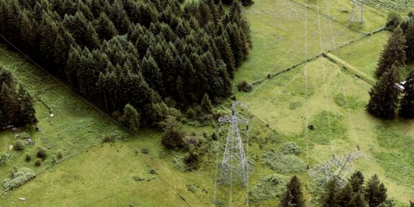
A change in the future of high-risk, critical asset inspections: fast, effective and safe aerial powerline inspection in a fraction of time and with real cost savings
Geospatial
Using drone technology for Flare Stack Inspection: Getting the smallest details from a safe distance
Geospatial
The Experiences of EyeFly with Phase One iXM
Geospatial
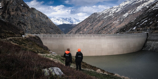
Dam Fine Data: Sub-millimeter-resolution UAV Dam Surveys by Orthodrone
Geospatial
Trimble Inpho – High class photogrammetry with aerial imagery from PAS 280
Geospatial
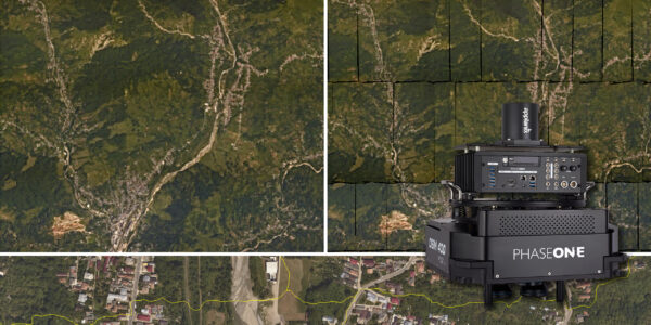
MapSoft – Multi-sensor Aerial System Improves Urban Development
Geospatial
NV5 Geospatial – Capturing Precise Details, with Four Phase One Cameras Integrated into Helicopter-based CLASS
Press Release
Phase One, Quantum Systems and Trimble unveil groundbreaking survey grade UAV solution with the launch of Phase One P5 camera
Press Release
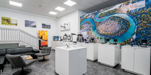
Phase One Selects Globe Flight as Sales Partner for Drone Solutions in Germany and Austria
Press Release
Phase One ernennt Globe Flight GmbH als Vertriebspartner für Drohnenlösungen in Deutschland und Österreich
Press Release
Remote Vision Named as Swiss Reseller of Phase One Drone Payloads