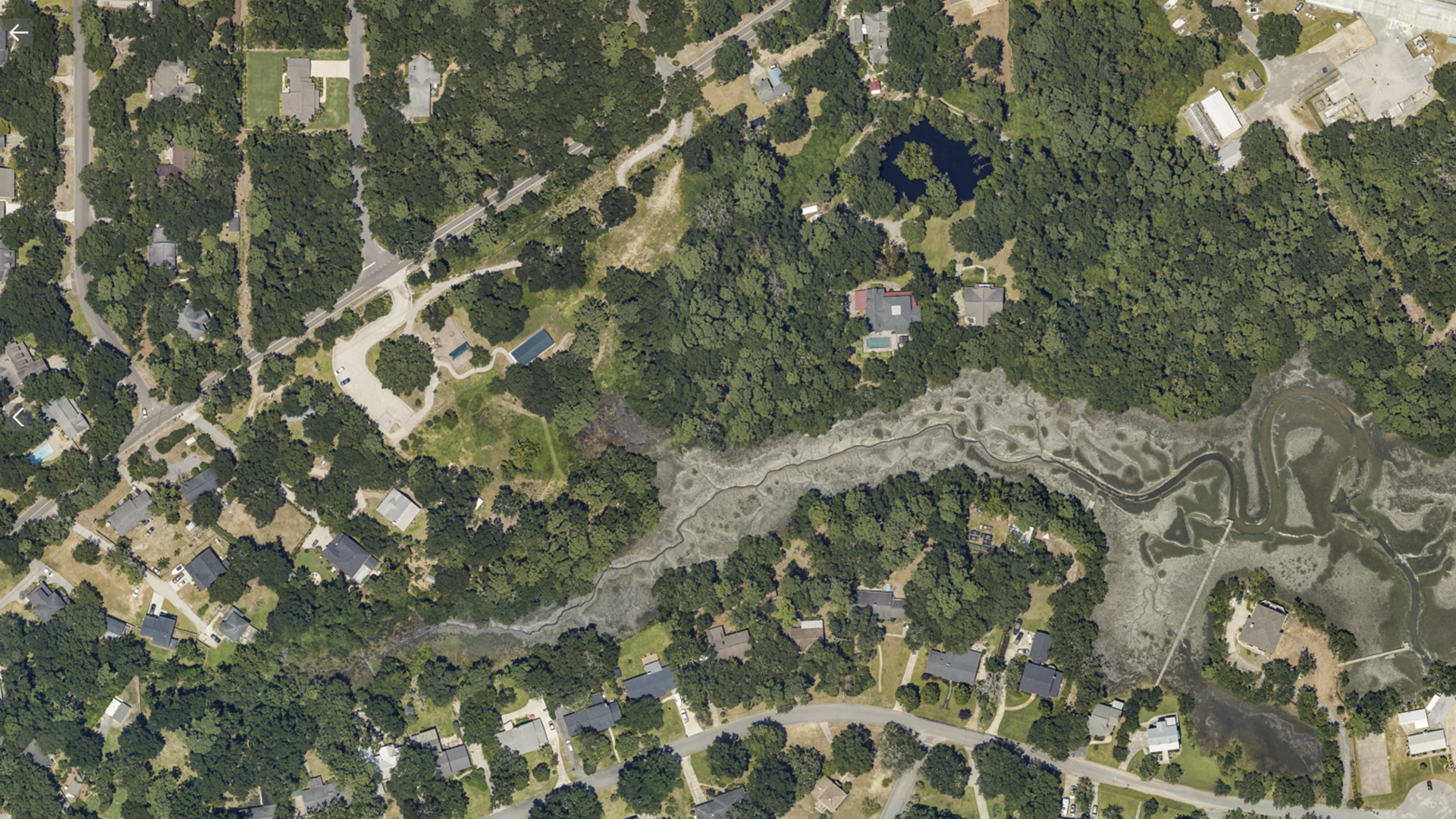
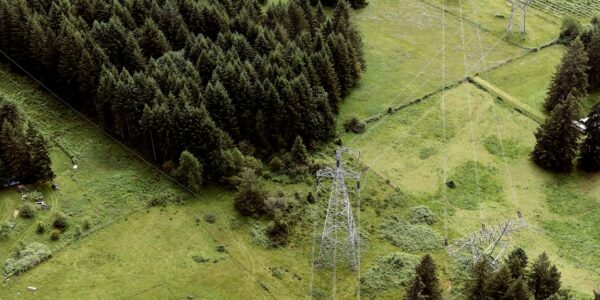
Corridor Mapping
Confidently Acquiring Large-format Imagery with Phase One’s 280MP Aerial Solution
Atlantic’s investment in the new phase one large-format camera system affords them the opportunity to now confidently self-provide quality imagery over large areas and offer a wider range of in-house services to their clients.
Large-Format Aerial Solutions Widen Revenue Stream
Atlantic is an airborne remote sensing, survey, and consulting business that operates over North America. Their customers are more sophisticated, have higher expectations, and better standards. Having equipment that can help them meet and exceed those expectations is so critical and key for the company.
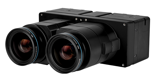
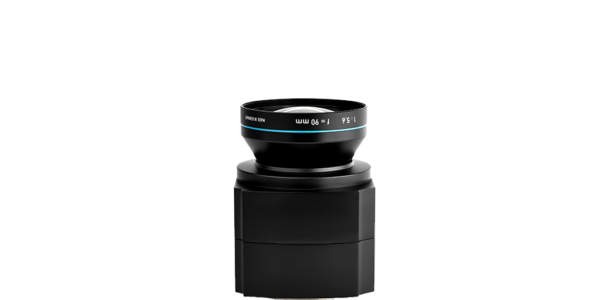
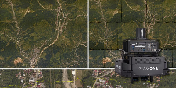
The business had purchased a 100-megapixel medium format Phase One Aerial System and really appreciated their initial experience so much, that they ended up buying two additional medium format cameras. A little less than two years later, Atlantic has expanded its partnership with Phase One by purchasing their 280MP large-format aerial system (PAS 280).
“The quality of imagery based on our new system is night and day. We’re able to get a crisper, less hazy, less overexposed image overall” explains Scott Jones, Atlantic Vice President.
Being able to purchase a large-format solution at a reasonable price means that they can provide data acquisition services at a competitive price for their clients. The company is able to offer a better product and really expand what they can propose on, what they can collect. This allows Atlantic to get into different markets and expand themselves into different regions based on the higher capability of the camera.
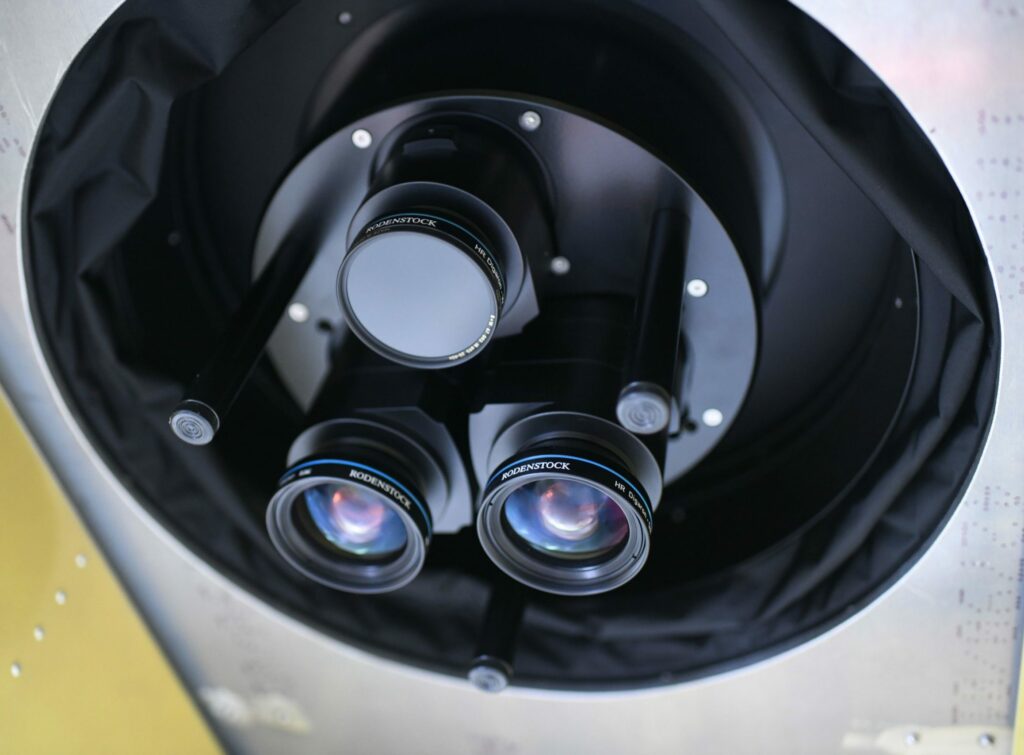
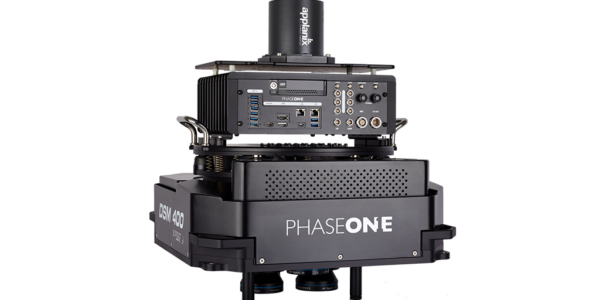
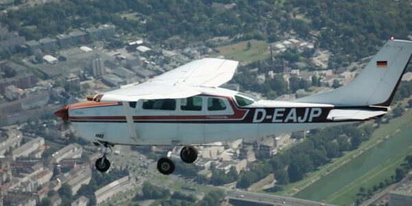
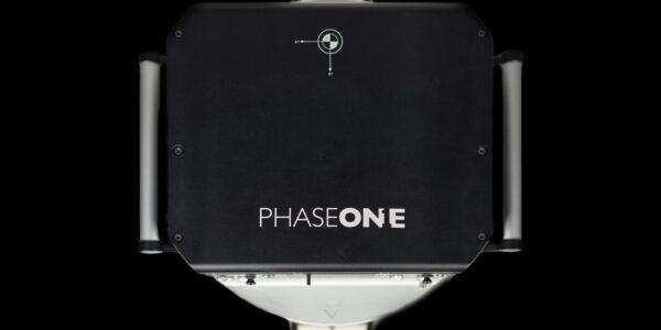
Image: Phase One 280MP Aerial Solution (seen from below) Installed in Atlantic aircraft – Atlantic 2020 ©


The PAS 280MP had an impact in several different ways, probably the biggest would be confidence in the data we're acquiring. There's now a certain confidence that when the system goes out into the field that we're getting good results every time, the first time.
Contact a Phase One Expert
If you would like to learn more about our Aerial Systems, our experts are eager to help! Contact Us.

Geospatial
The PAS Pana: a 48,800-pixel camera innovated with our customer Surdex

Geospatial
Rebuilding after Hawaii’s wildfire with engineering-grade surveying

Geospatial
Revolutionizing Slovenian urban planning: Phase One’s PAS 880i redefines reality mapping
Geospatial
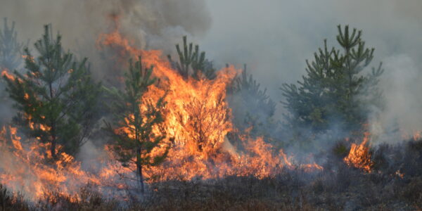
Imaging solutions combined with AI and 5G – A new approach and promising to assess forest health and detect and monitor wildfires
Geospatial
Phase One Cameras combined with light, fixed-wing aircraft deliver highly efficient LiDAR and mapping missions
Geospatial
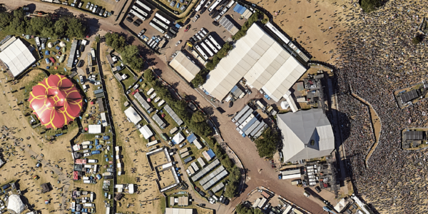
Capturing Glastonbury Festival
Geospatial
Breaking barriers to offshore wind energy development
Geospatial
Using aerial oblique images combined with close range UAV (uncrewed aerial vehicles) based data
Geospatial
A change in the future of high-risk, critical asset inspections: fast, effective and safe aerial powerline inspection in a fraction of time and with real cost savings
Geospatial
Using drone technology for Flare Stack Inspection: Getting the smallest details from a safe distance
Geospatial
The Experiences of EyeFly with Phase One iXM
Geospatial
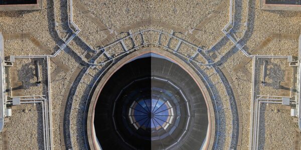
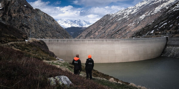
Dam Fine Data: Sub-millimeter-resolution UAV Dam Surveys by Orthodrone
Geospatial
Trimble Inpho – High class photogrammetry with aerial imagery from PAS 280
Geospatial
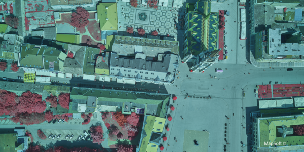
MapSoft – Multi-sensor Aerial System Improves Urban Development
Geospatial
NV5 Geospatial – Capturing Precise Details, with Four Phase One Cameras Integrated into Helicopter-based CLASS

Press Release
Carbonix, RIEGL, Phase One announce first fixed-wing VTOL integration of long-range dual sensor system

Geospatial Blog
Insights and future trends at Geo Week 2024

Press Release
Phase One Appoints HALG | Hindustan Assistant & Logistic Group as Official Technical Partner in India to Enhance Local Support and Engagement
Press Release
Phase One Introduces PAS Pana at InterGeo 2023: The Most Effective Wide Area Camera for Aerial Mapping

Press Release
Phase One announces New Calibration Lab and Geospatial Center of Excellence in Denver