
Phase One
Applications
Global leader in digital imaging technology
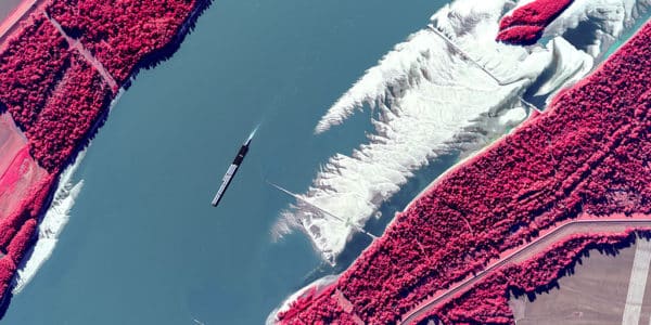
Phase One is the global leader in digital imaging technology. Our commitment to imaging quality spans a wide spectrum of applications, from professional photography to heritage digitization, industrial inspections, aerial mapping, security and space.
Together with our customers, technology partners and global network of distributors, we drive the imaging industry forward.


Bespoke Photography
For visionary photographers pushing creative boundaries, Phase One delivers unparalleled software, hardware, and 24/7 global support. Join a community that doesn’t just capture moments but creates visual masterpieces, setting new standards in the world of photography.