We deliver Imaging Beyond Imagination
Phase One is a global leader in high-resolution digital imaging technology.
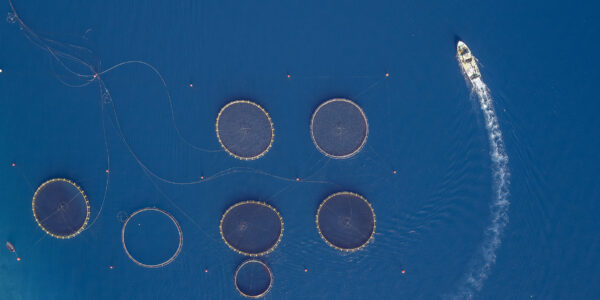
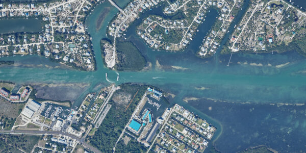
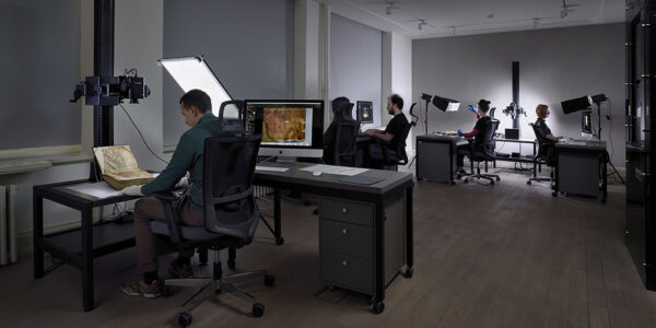
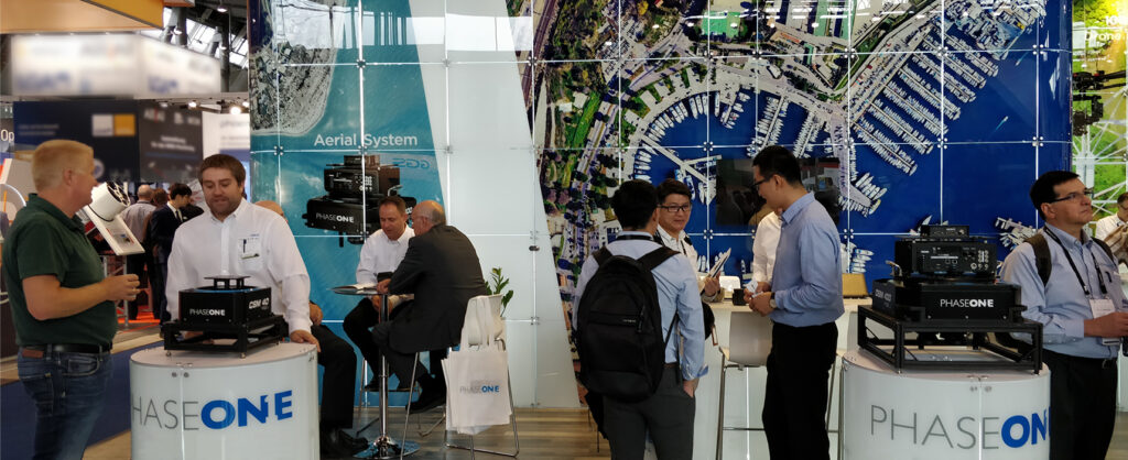
Our dedication to exceptional imaging quality extends across diverse applications, from professional photography to cultural heritage digitization, industrial inspections, aerial mapping, security, and space.
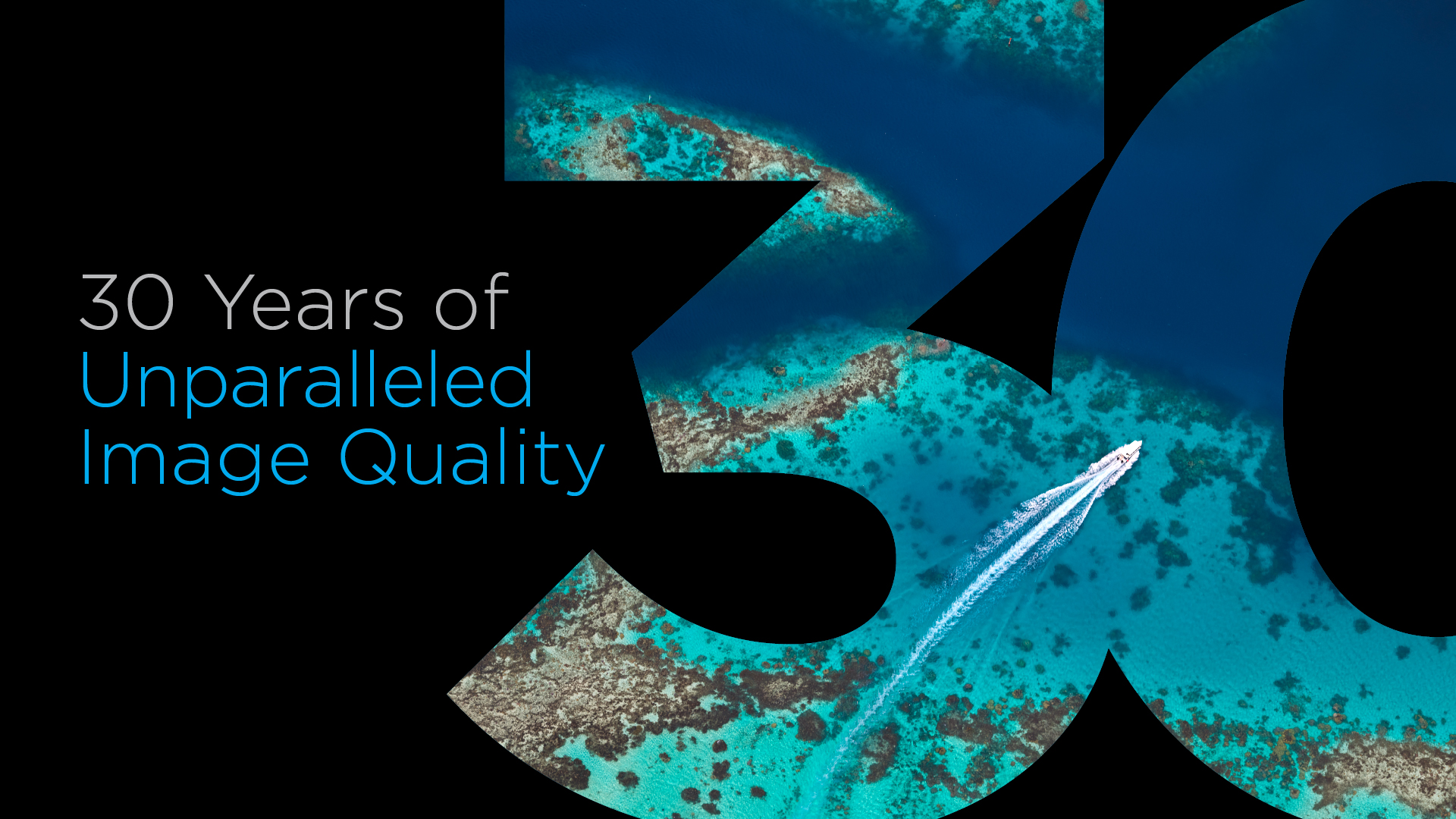
For more than three decades, Phase One has developed core imaging technologies and a range of digital cameras and imaging modules, setting new standards for image quality in terms of high-resolution, dynamic range, color fidelity and geometric accuracy.
Collaborating closely with our valued customers, partners, and an extensive network of global distributors, we move the imaging industry forward.


Bespoke Photography
Our photographers craft extraordinary high-quality images with a Phase One camera, pushing creative boundaries while visualizing the world. We are here to meet all your landscape and studio photography needs.
We use our Phase One cameras around the globe from Colombia to Canada, Nepal, Hong Kong, and all over the USA. Our clients are always appreciative of the high-quality imagery. We can always rely on the Phase One team, for great products and service!
One of the biggest challenges for book digitization is the material handling. Having a solution that captures two pages at once, using high resolution cameras, allows us to almost double our digitization output, while ensuring maximum material protection. More automation with less repetition that is what we need.
Phase One, as a company, is full of clever and passionate people who really understand my needs as a photographer, and getting my first walkthrough of the product it became clear that resolution was the very last thing on their priority list.
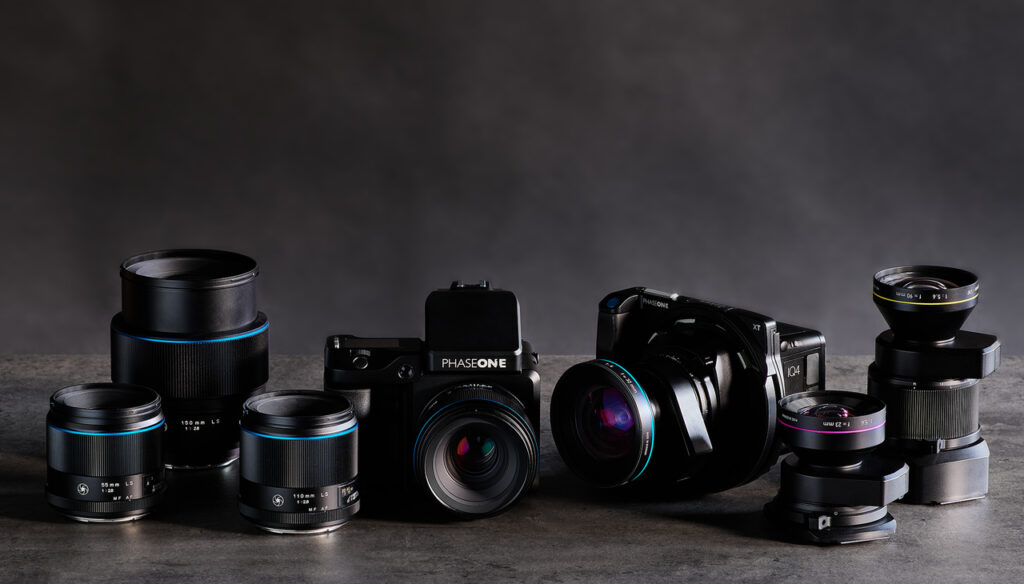
Photographic Cameras
Elevate your Photography experience: Discover our range of medium format cameras crafted for passionate photographers.
Embrace Phase One cameras that not only capture but set a new standard in professional photography.
Why Phase One?
An innovative spirit and culture lie at the heart of Phase One, which is driven by a passion for helping our customers turn their visions into reality. We believe in a partnership approach to doing business and building long-term relationships with our customers, technology partners, and our selective network of agents and distributors.
Phase One strives to show the world what high-quality digital imaging can do. We benefit from working with the most demanding and innovative customers and in order to serve and exceed their expectations we recruit and develop unique talents across our global team.