iX Suite
Quality assurance from flight planning to final data delivery
Aerial Mapping Software For Project Quality
Take your workflow to the next level by assuring quality from the earliest possible stage. iX Suite software offers the most effective workflow and supports aerial mapping projects from planning to execution and processing. It is fully integrated with all our PAS systems. Phase One iX Suite ensures project quality from the earliest possible stage to maximize your ROI.
iX Plan allows you to plan the project easily by defining the location, giving the requirements and selecting the system from the database. Flight lines are automatically generated based on given information and you can verify the plan by using various QA and analytical tools offered by the software.
iX Flight Pro offers one button click pre-flight check. System information is always displayed for the pilot and operator. Real-time image review and refly planning in the air ensures quality results in the most cost-effective way.
iX Process allows you to review PAS image sets in full resolution without any image pre-processing steps. You are able to adjust the image radiometry and display the outcome in real time. Export 4-band images that are both radiometry and geometry corrected.
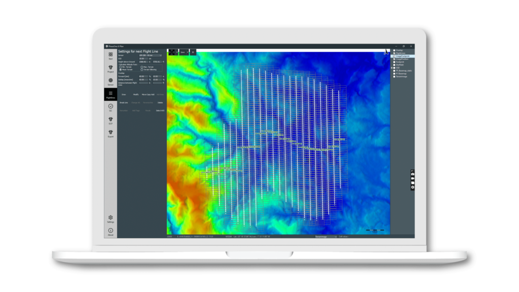
Planning software for aerial mapping
iX Plan is a flight planning software for aerial mapping that translates your project requirements into an accurate flying and image collection plan. Intuitive and accurate project planning with immediate quality assurance. Effortless access to predefined camera and system parameters eliminating the need for manual setup. Experience easy planning and visualization, while ensuring quality control and receiving detailed budget estimation reports.
Important features:
- Database consists of predefined sensor camera and systems
- Automatic flight line generation according to the input parameters
- Verification for GSD, coverage, and overlap planned throughout the project
- Export the flight plan in various formats
- Generate analysis report for better budget control
- Placement and presentation of GCPs for accurate position control
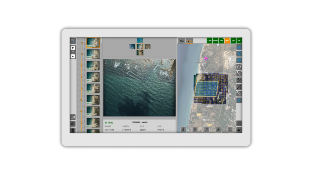
Flight management and data capturing software
iX Flight Pro is a flight management and data capturing software that provides the pilot and the operator with the means to manage and control aerial photogrammetry projects easily. iX Flight Pro uses the flight plan to present instructions to the pilot, and to provide the operator with system management and image reviewing tools.
Reliable flight management and data capturing tool. Import your plan with a single button click and proceed with the mission execution according to the flight plans. Benefit from an automatic pre-flight check as soon as all powers are on and cables are connected, ensuring a smooth start. In-flight data review provides immediate decision support, enabling real-time replanning as needed.
Important features:
- System control for stable flight management
- Camera control for optimal image capturing
- Image review and annotation in real time
- Image collection summary and in-flight replanning
- Extensive logs for easy trouble shooting
- Post-flight report
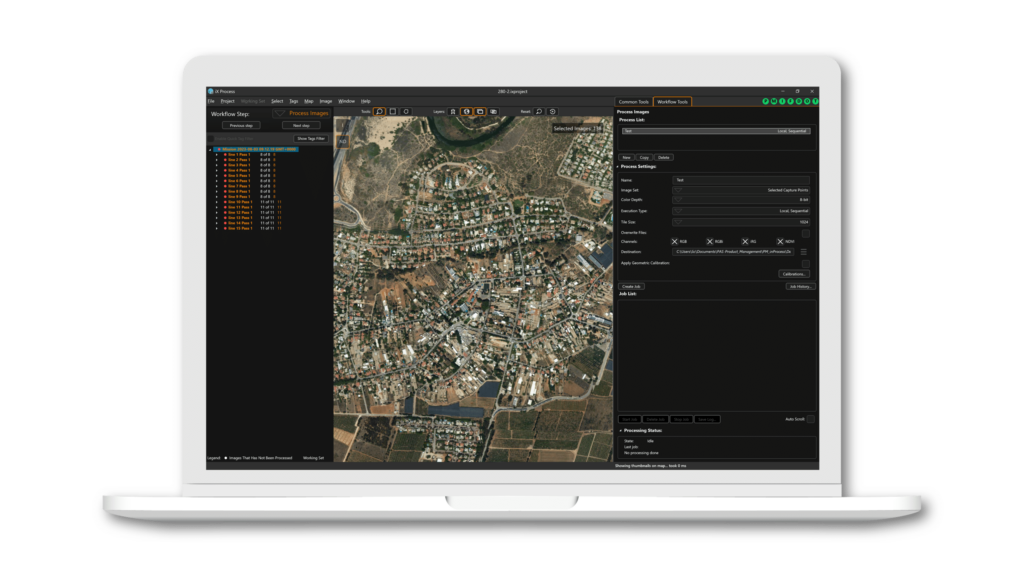
Aerial mapping project review
iX Process is an application that reads the data and information from the flight and allows you to assure your project quality as well as to prepare your data for photogrammetry processing.
Review your project images right after landing in full resolution without the need for image pre-processing. Adjust image radiometry and correct the distortions upon need for accurate results exported to photogrammetry processing.
Important features:
- Automatic color balacing on nadir images within the project
- Full-resolution image review and radiometry adjustment
- Image annotation and grouping according to the content or positions
- Create plans for immediate refly
- Correct image distortions at the export
- Export images in various band combinations: RGB, RGBi, iRG(CIR, color infrared), NDVI.
- Export TIFFs in 8 or 16 bits, tiled or untiled.
- Display project images in tree list and projected them on the map
- Automatic check for corrupted images
- Analyze flight data and calculate overlaps against the requirements planned
- Generate report for administrative works
Contact a Phase One Expert
If you would like to learn more about iX Suite, our experts are eager to help! Contact Us.