Aerial Solutions
Our aerial photography solutions offer the highest image quality & reliability for UAV, drone, & aircraft systems.
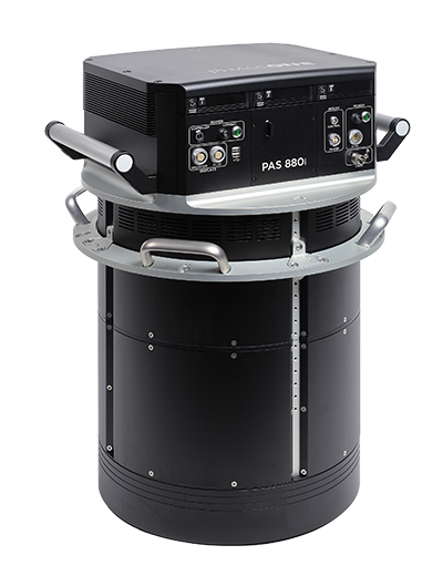
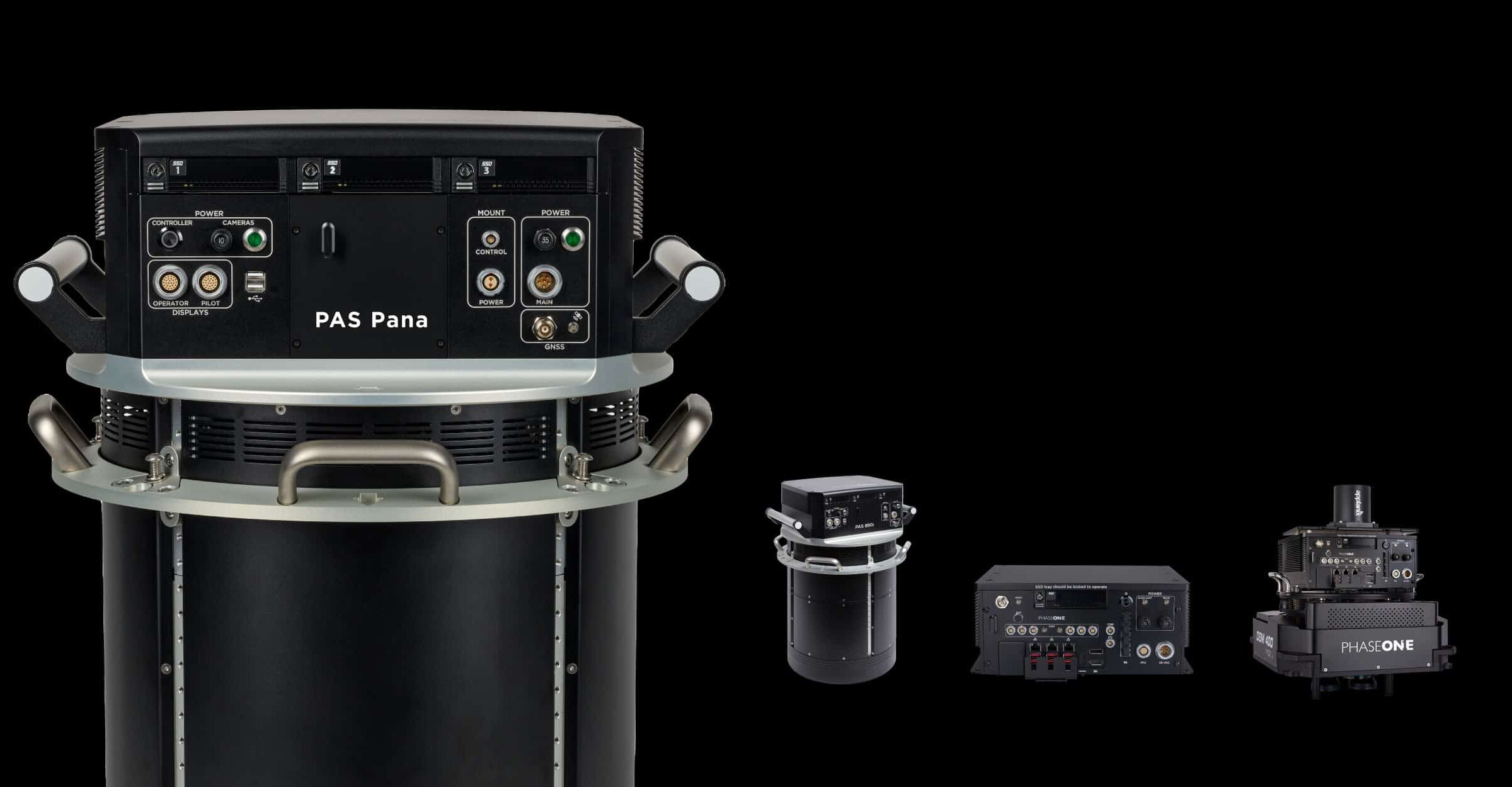
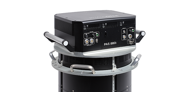
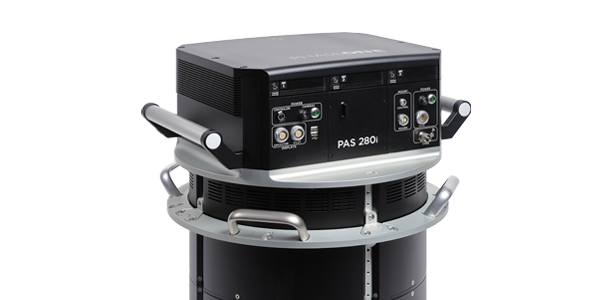
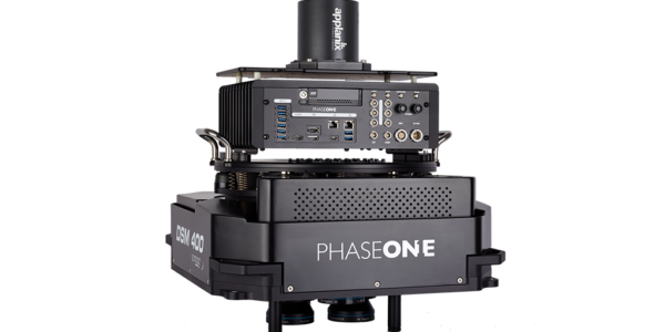
High-end mapping imaging technology from above
Our aerial photography solutions and camera systems feature superior quality imaging sensors for sharp, distortion-free images and accurate geospatial data while assuring data quality from the earliest stage possible with our iX Suite Software
We bring you unparalleled aerial mission success from flight planning, to execution, to final data delivery with high image quality, reliability and productivity in mind.
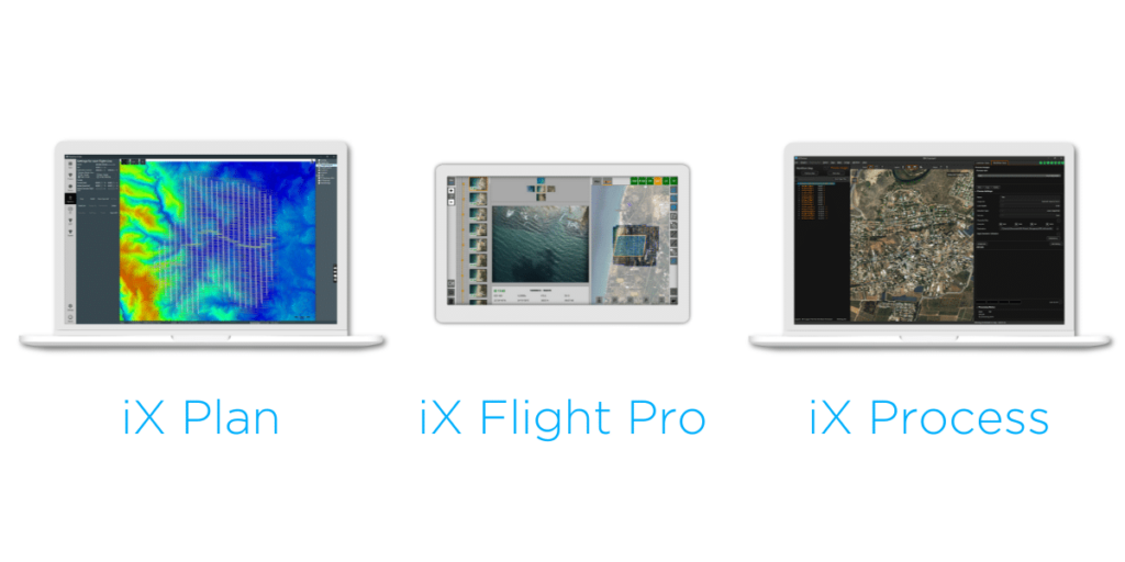
iX Suite
Seamless workflow,
quality assured from the earliest stage
Experience streamlined mission planning with iX Plan—initiate planning by selecting your Phase One system, automatically generating flight lines and controlling project costs. Elevate your mapping project with iX Flight Pro, ensuring precise mission execution and increased efficiency with instant images review and replan while flying. Streamline your workflow with iX Process for immediate image review and adjustments without need of pre-processing.
Is Bayer Pattern better than Pan Sharpening?
Yes! With Bayer Pattern Image Sensors, fewer cameras are needed per ground area which means that a multi-camera system can cover more area and/or provide higher resolution than a Pan Sharpening solution.

Upgrading to Phase One next-generation systems has improved our quality, timeliness, and made both our collection and processing more efficient and streamlined. The investment has been well worth the return
The Phase One Aerial Solution provided us with a complete turnkey aerial imaging solution, compact in size, light in weight and flexible enough to use our current fleet of aircraft, to improve productivity, and bid on bigger projects.
The Phase One 280MP Aerial Solution gives us assurance in the data we're acquiring. There's now a certain confidence that when the system goes out into the field that we're getting good results every time, the first time.
Our partners


Contact a Phase One Expert
If you would like to learn more about our Aerial Systems, our experts are eager to help! Contact Us.